We completed a 28-hour ocean passage last night, arriving in Cape May at 1810 hours (6:10 PM) from Norfolk, VA. Woohoo and Whew! We decided not to go up the Chesapeake and down the Delaware because it was expected to be near 100 degrees F. with thunderstorms.
Thanks to our friends Peter and Val, we have a slip in front of their beautiful condo and are plugged in to AC power which means, closing up the ports, running the air conditioning and staying cool and dry in the thunder shower that came through as forecast last night. We sailed with Peter and Val on their boat up to Maine last summer and look forward to seeing them up there in August.
The neighbors on both sides were on their power yachts when we arrived. The welcome we got was not to help us with dock lines but to grill us about who we were and did we really know the owners of the slip. I guess we gave them the right answers because before long one guy was giving us restaurant recommendations, before he returned to his cell call. If we hadn’t lived in New York we would have been put off by this behavior, but we just rolled with it.
We celebrated our safe arrival by making guacamole and eating way too many tortilla chips, which turned out to be our supper and not just an appetizer.
People have asked us what we do while making an off-shore passage–without cell phone, TV and internet to amuse us. Options are largely limited by the weather and boat traffic.
If the seas and breezes are calm to light and there is no traffic, then we motor and run the auto-helm, “Oscar.” One of us is on watch and the other is free to do other things. Randy is usually on watch from 2200 to 0300 hours and I am on watch from 0300 to 0800 hours, giving each of us a chance to sleep.
Besides sleeping, other things include making and serving food and beverages; cleaning: dishes, the boat, ones self, clothes; dealing with invading insects (more time than you might imagine); reading, making photos: taking, uploading, reviewing, selecting, naming, cropping, and sizing for the blog; planning the upcoming legs of the journey: considering weather, ports, distances and speed of boat, tidal currents, moon, boat traffic, hazards, safe havens en route, depth of water, availability of aids to navigation, shoaling, amount of desire to see certain ports and more and building a route to transfer to the chart plotter, “Ray” when its not in use.
Being on watch includes keeping on course, watching for traffic (by sight and with RADAR), adjusting course as needed to avoid collisions with boats, land and other obstructions, monitoring systems and conditions (e.g., over heating, alternator and regulator, fuel, radio), log position periodically (in case Ray quits), trimming sails, recharging the frig, and more. At night I listen to an audio-book on iPod to help stay alert.
During the last overnight, off-shore passage, we were both up between 0230 and 0400 because there were several ships, that were crossing our path. The captain of one ship radio’ed us to ask us to move “several degrees to port” and we acknowledged and dropped 10 degrees to port to avoid a collision then altered course again to avoid a reef.
If the seas and breezes are “challenging” then we are both on duty and may be actively steering, reducing sail, changing course, and moving very cautiously, hanging on to avoid being slammed around. This is when I put on a anti-seasickness patch, foul weather gear, harness, and life jacket and go below as little as possible.
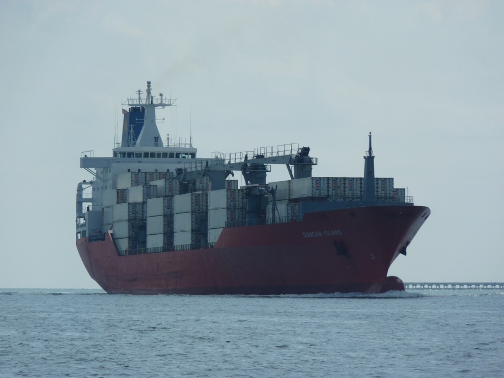
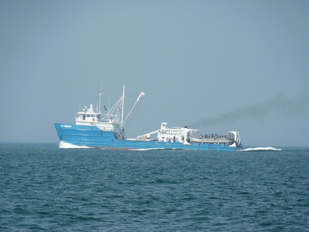
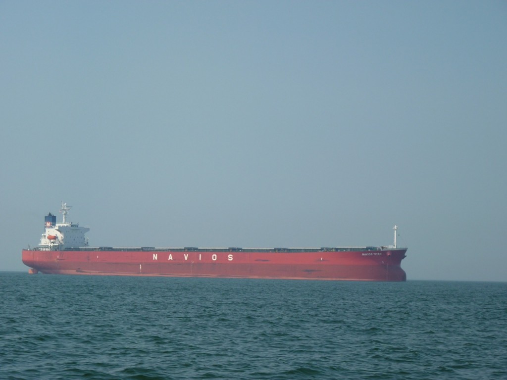
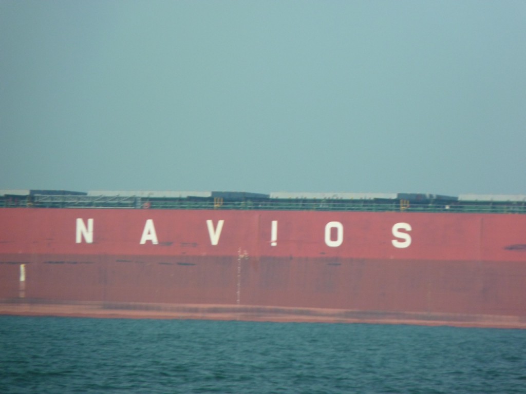
With the current weather forecast, we will be in Cape May until Monday evening, to avoid “challenging” conditions. Then we’ll head out on a two-night, off-shore passage up the coast of New Jersey, Long Island, NY and over to Rhode Island (Block Island and/or Newport). Below are photos of a few ships we have encountered along the journey.
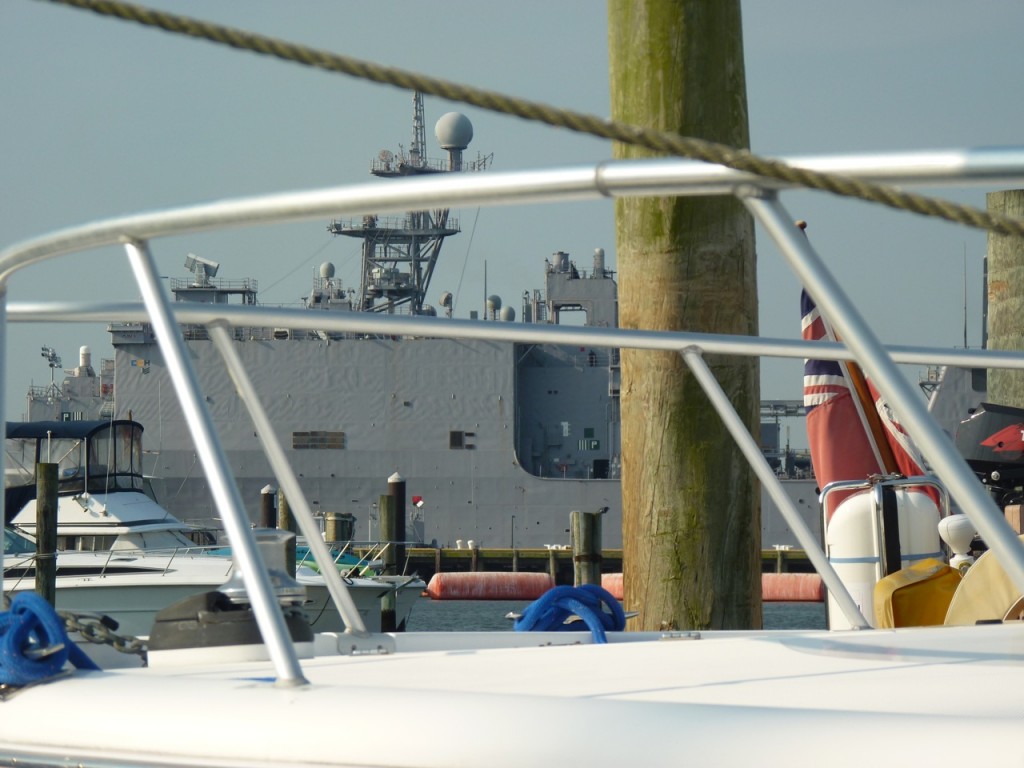
The Navy SEALs have a huge base at Little Creek, the same inlet as the marina where we stayed. This photo was taken aboard Gryphon to show how close we were docked from this huge ship, which departed the same day as we did.