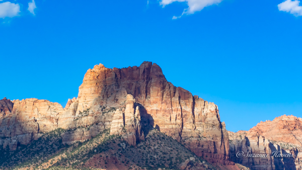
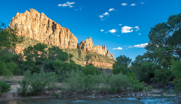
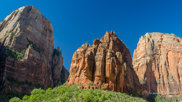
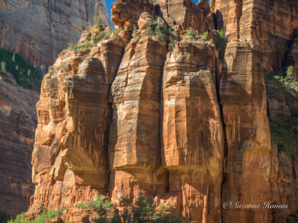
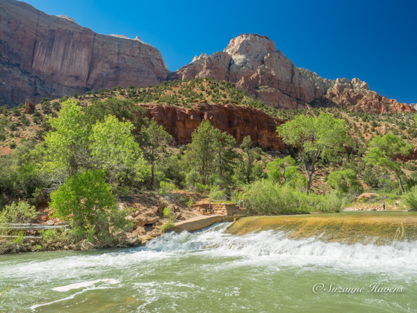
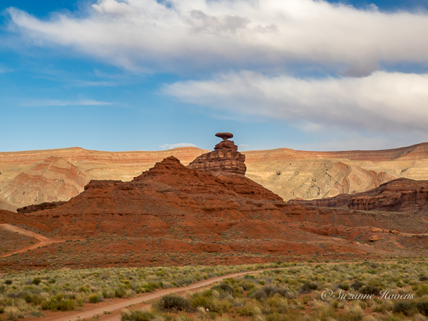
I didn’t know until I read up on Bryce Canyon that it is near the top of “The Grand Staircase.” Thinking of the bottom of the Grand Canyon as the base of the staircase, sedimentary rocks “recount a history of 525 million years.” The so-called pink cliffs of Bryce (that I think of as orange) are made of sandstone from sedimentation. “Massive tectonic plate activity from 20 to 15 million years ago began to thrust up a tremendous swath of the earth’s crust” nearly two miles to form the 130,000-square-mile Colorado Plateau. (Bryce Canyon National Park brochure) This tectonic force pushed up unevenly causing the exposed layers to appeal diagonal instead of horizontal. Geologists have identified the content, named the layers and dated them.
Because of the high altitude of Bryce ( 8,000 to 9,000 feet), the air does not retain moisture well. Therefore, the temperature can vary over 40 degrees in a single day. About 180 days a year the temperatures swing from below freezing at night to warm afternoons. This means that snow melts, seeps into crevices, turns to ice, cracks the rock around it and causes erosion. This frost-wedging shapes the rock walls into fins, opens windows, and when the tops of the windows break, limestone pillars. Here is a small sample of the fascinating scenery from the “Bryce Amphitheater.”
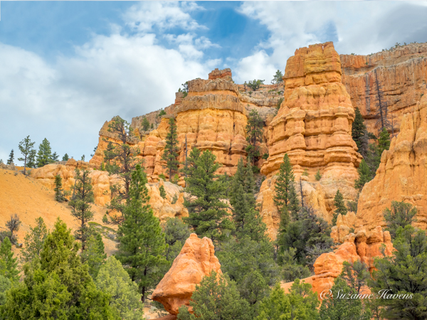
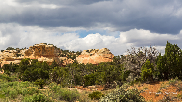
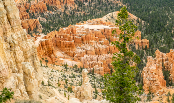
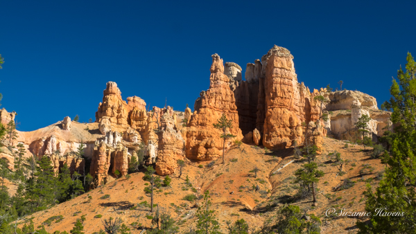
As we approached the national park this was our first glimpse of the pillars and fins
A leaning erergreen tree frames the wide-angle view of the canyon, trees and mountains in the distance. Rain intermittingly fell throughout the day.
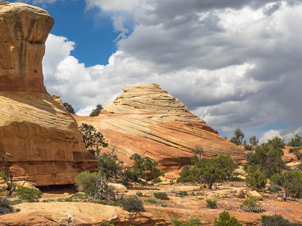
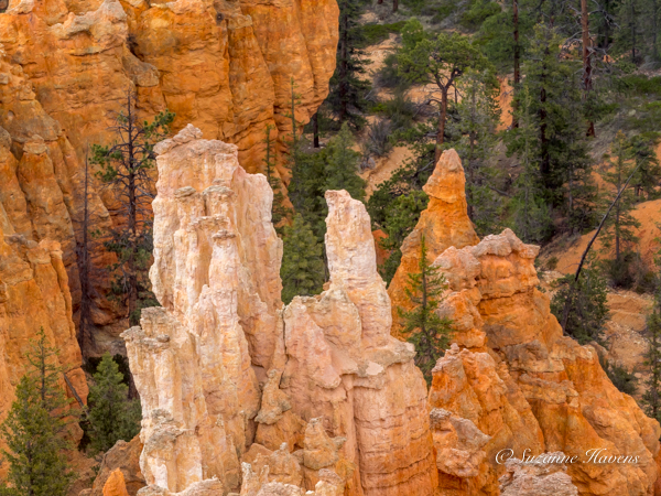
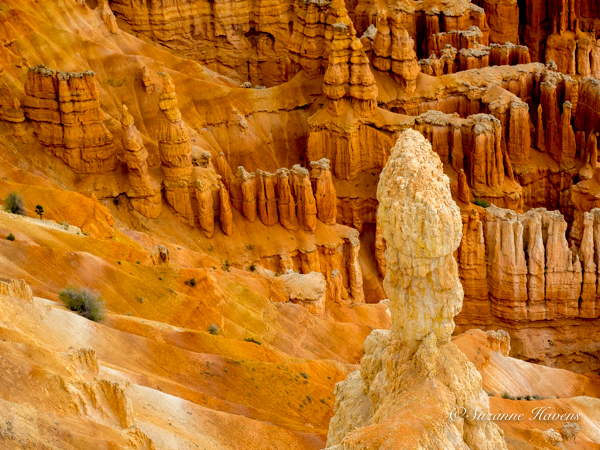
The rock color varies from cream to peach to orange. A crust covers some of the canyon wall fins. Limestone sand is carried down the canyon. A pillar called a hoodoo appears in the foreground. Ancient Puebloans regarded hoodoos as ancestors turned to stone by the coyote god. Trees stubbornly grow in the sand and attach their roots to the sandstone.
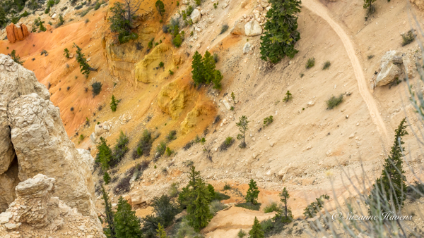
The cream, gold and orange-colored sand washing away from the sandstone is punctuated by the tenacious trees. A trail looks like it would make for a precarious hike
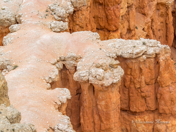
A closeup of the crust covering the fins
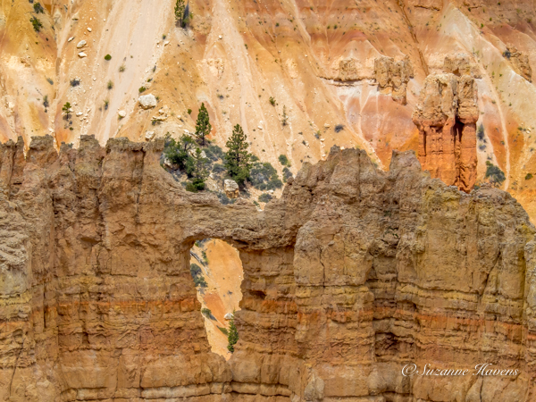
A window has been eaten out of the fin revealing a cascade of sand beyond
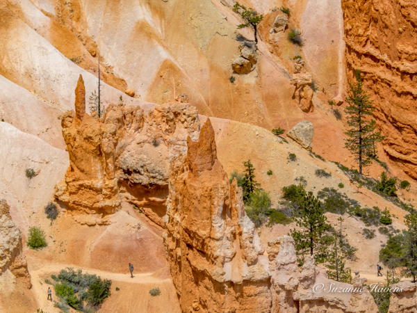
A closeup of hoodoo with sharp points, resembling pointed hats. The trees resemble spears. Note the hikers on the sandstone trails
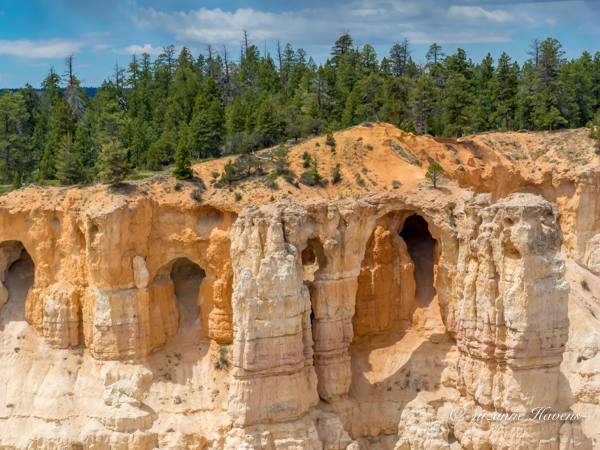
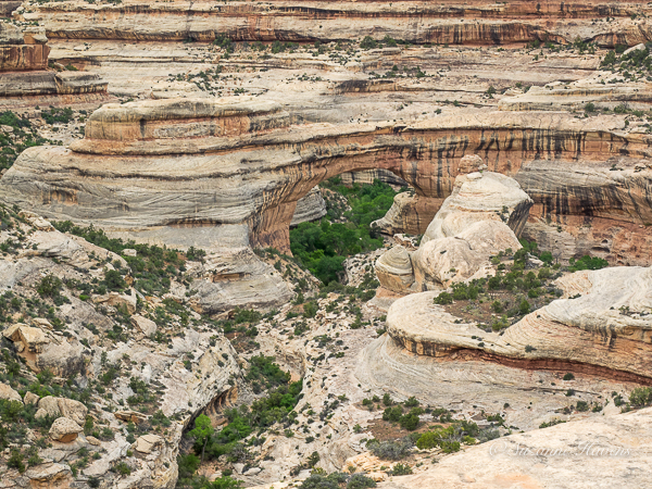
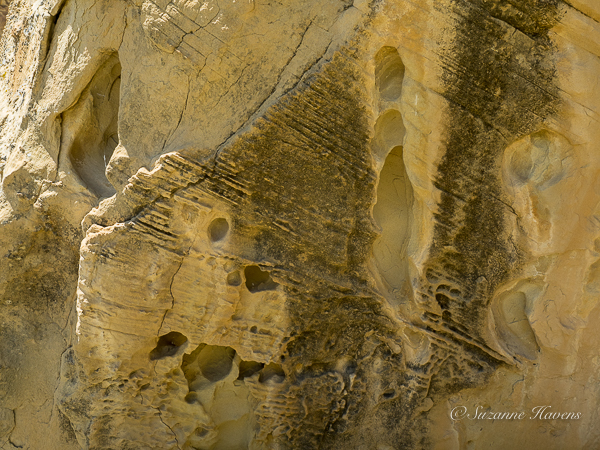
A closeup of cave-like formations in the canyon walls
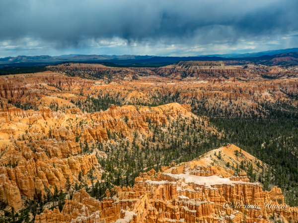
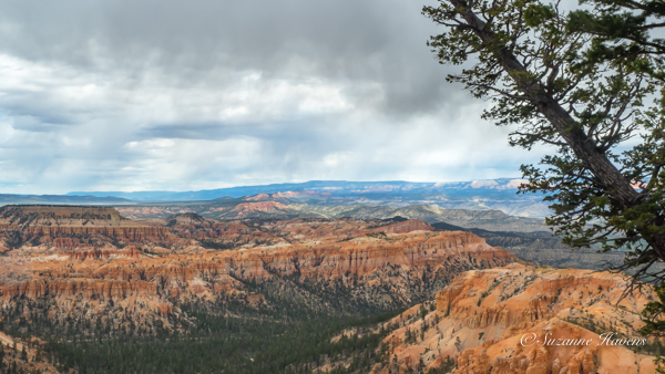
The dramatic rainclouds hover over the blue mountains in the distance, contrasting with the orange canyon and evergreens
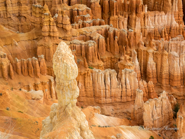
The hoodoos remind me of sand castles we built on beaches in Michigan and Florida, but I never saw sand in these colors
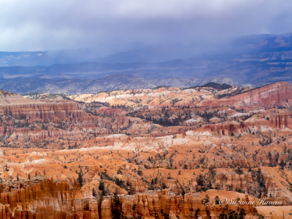
Purple rain softens the layers of colors and seems to bridge the spiky forms in the foreground with the mounded forms in the center
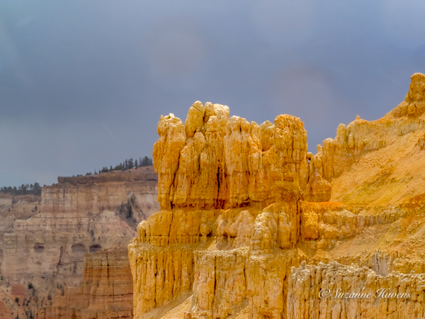
Brief moments of sun on the wet sandstone lit up the golden tones and forms a contrast with the creamier colors of the rock walls and sky
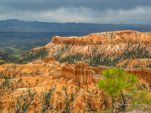
The sharp, yellow-green of the evergreen in the foreground, the sandstone trails snaking their way through a city of castles, a higher formation, a fertile valley, with a mountain range in the distance, topped by purple rain–a grand vista!
This hoodoo reminds me of the conductor of the symphony –rows of attentive musicians playing in harmony. Or perhaps it is a pontiff with the cardianals
Another angle with more intense color when the sun shone briefly
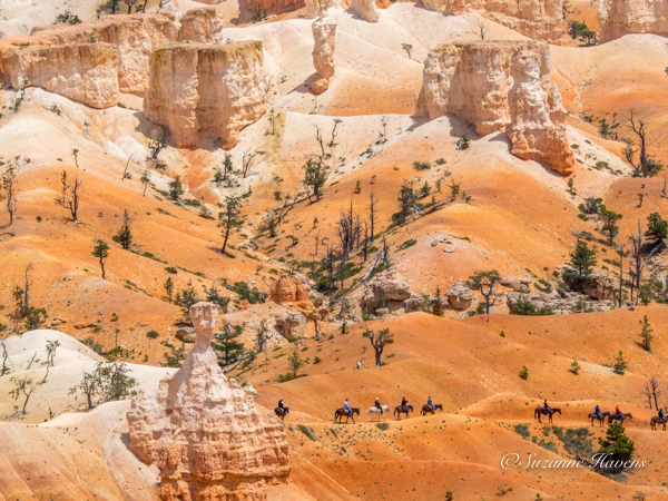
Horseback riders pause to take in the view of sand dunes around the sandstone structures and trees struggling to survive
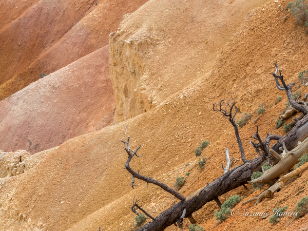
This image somehow haunts me: the dead tree and limbs that have succumbed, the stone that has become sand again, the waves of colors
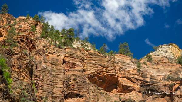
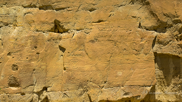
The following morning the sky was crystalline and the shadows sharp, this time viewing from the base and looking up
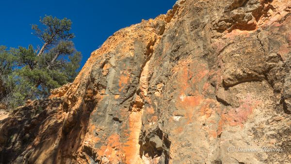
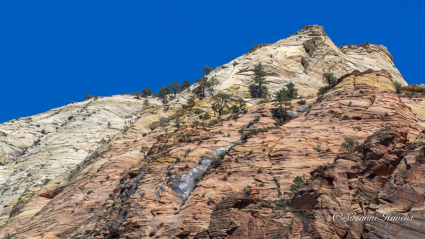
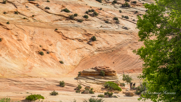
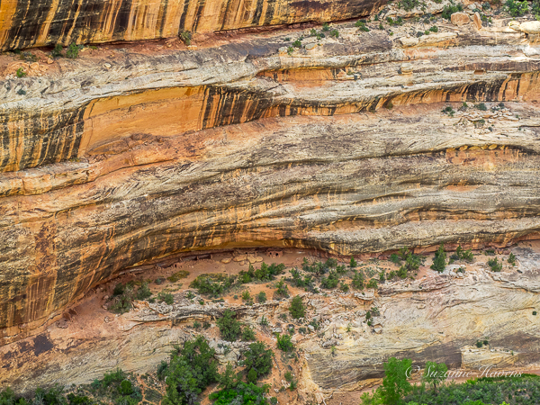
The colors and patterning in the rock face vary from those we saw yesterday
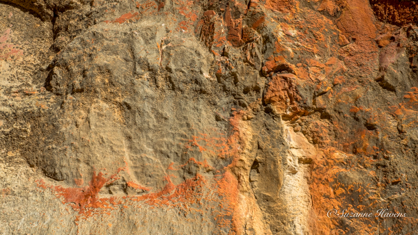
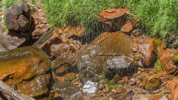
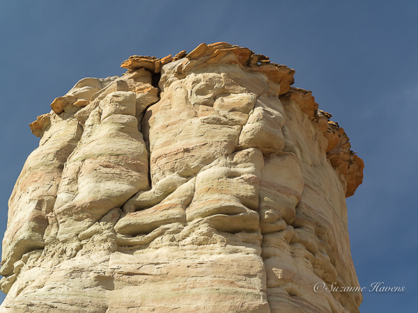
A closeup of the rock face
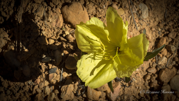
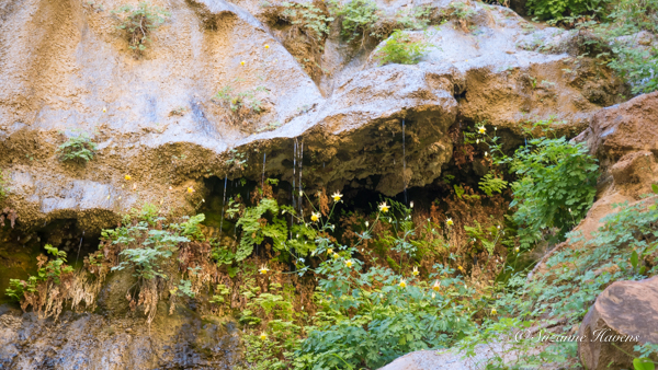
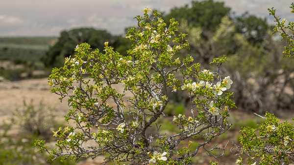
A bronze evening primrose blooming out of the stones
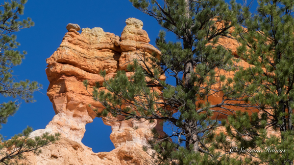
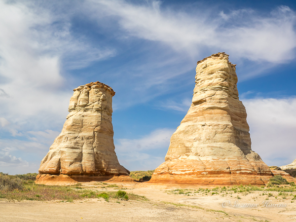
A window that will eventually separate the conjoined twins